Wheat stripe rust
Changes in wheat stripe rust climate suitability are likely to create challenges for wheat production.
Wheat stripe rust in NSW
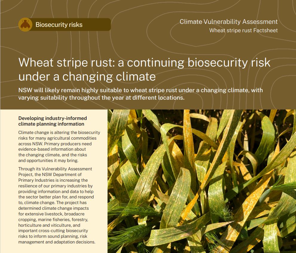
Wheat stripe rust is a fungal crop disease caused by the pathogen Puccinia striiformis f.sp. tritici. The pathogen was first detected in eastern Australia in 1979, where it became established and is now endemic to the wheat growing region of NSW. Although wheat is the primary host for the disease, it can also infect barley, triticale, rye and several other grain species.
The wheat stripe rust pathogen requires cool and wet conditions to infect crops. Once infected, the fungus grows in the leaf tissue, producing orange-yellow pustules. When these pustules rupture, they release spores that become wind-borne and attack healthy plants. The key wheat stripe rust life stages include infection and incubation.
Wheat stripe rust has inflicted significant losses on the wheat industry in NSW and can cause up to a 70% yield loss under suitable conditions. Monitoring of pathogen populations and establishment helps to improve preparedness and response strategies. The map shows the wheat belt across NSW (orange region). Locations indicate key wheat growing sites.
What is the NSW DPIRD Climate Vulnerability Assessment? ⏷
Climate change is altering the biosecurity risks for many agricultural commodities across NSW. Primary producers need evidence-based information about the changing climate, and the risks and opportunities it may bring.
The NSW DPIRD Climate Vulnerability Assessments are enhancing the resilience of our primary industries by providing information and data to help the sector better plan for, and respond to, climate change. They have assessed climate change impacts for extensive livestock, broadacre and irrigated cropping, marine fisheries, forestry, horticulture and viticulture, and important biosecurity risks associated with these industries to inform sound planning, risk management and adaptation decisions.
How we assessed climate suitability ⏷
Climate projections were sourced from Climate Change in Australia’s ‘Application Ready Data’. This dataset is comprised of projections from an ensemble of 8 global climate models, each presenting a plausible future climate. Low confidence in the projected changes due to differences between the models is noted in the text. Care should be taken when interpreting these results.
The Climate Vulnerability Assessment is intended to highlight potential industry- or regional-level changes. Intermediate and high emissions scenarios were used in the assessments (RCP4.5 and RCP8.5), but these are not the only future scenarios possible. The inclusion of climate variables important to the commodities production was based on published research, expert knowledge and data quality and availability.
Climate suitability for biosecurity risks was assessed on a monthly timescale, with the reported climate suitability representing the average for a given month over all years in the dataset. This reflects the pattern of life stages for biosecurity risks and the need to determine which months are likely to pose the greatest risk to host commodities.
Learn more in the Climate Vulnerability Assessment Project Framework.
Climate impacts: expected challenges for primary industries
Changes in climate suitability are likely across all key life stages of wheat stripe rust by 2050, under both emission scenarios.
Changes to overall monthly climate suitability for wheat stripe rust are likely to affect wheat stripe rust incidence in NSW in different ways:
- June to August – there are likely to be minimal to moderate increases in climate suitability in the wheat growing region. The increase is likely to be greatest under the high emissions scenario (moderate to high confidence).
- September to April – there are likely to be minimal to moderate decreases in climate suitability in the wheat growing region. The decrease is likely to be greatest under the high emissions scenario (low to high confidence).
- May – Climate suitability in the wheat growing region is expected to remain similar to what has been historically experienced under both emissions scenarios (moderate to high confidence).
The effects of wheat stripe rust on the grain industry in NSW will depend on:
- the future distribution of grain-growing in NSW,
- changes in production timings, and
- the overlap between susceptible life stages of grains and the lifecycle of the wheat stripe rust pathogen, P. striiformis.
The historical climate suitability for wheat stripe rust in NSW has been high, and it is likely that this will continue to be the case in 2050. Climate suitability is likely to decrease through the summer months which has the potential to reduce the green bridge opportunity for wheat stripe rust, in which uncollected seeds germinate and become a potential host for infection. Decreased climate suitability in the north of NSW, due to increasing temperatures, may also increase the effectiveness of temperature-dependent rust-resistant genes in adult plants. This may further reduce the risk of infection. Southern growers, on the other hand, may need to adopt shorter growing-season varieties to avoid the suitable window for the pathogen.
The increase in climate suitability in August has the potential to increase infection risk during key wheat growth stages, including flowering and flag leaf by 2050. Increased climate suitability for the pathogen might be counteracted by the response of adult plants from rust-resistant wheat varieties to stem rust.
Current strategies to manage the disease are likely to remain effective, but grain-growing industries may need to adapt by adopting earlier-maturing varieties to minimise or avoid the wheat stripe rust window or by increasing late-season fungicide applications, which carries an enhanced risk of exceeding maximum residue limits in grains prior to harvest.
Where can I find the climate suitability maps?
Maps of historical and future climate suitability for commodities were produced to demonstrate where in the state a commodity is likely to thrive or else be limited by future climatic conditions. The maps are not provided on these webpages but can be found in the Climate Vulnerability Assessment Summary Report (PDF, 41425.92 KB).
Wheat stripe rust Factsheet
(PDF, 2071.45 KB)
Summary Report
(PDF, 41425.92 KB)