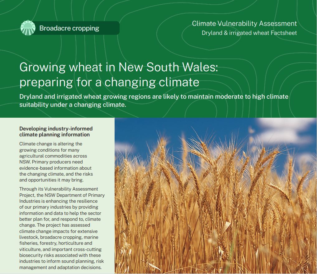
Dryland and irrigated wheat
Climate change offers opportunities and challenges to dryland and irrigated wheat growing in NSW by 2050.
 Wheat in NSW
Wheat was one of the first crops sown following European settlement in Australia. It has become one of Australia’s largest and most valuable agricultural commodities. In 2022-23, Australian wheat accounted for almost 14% of global wheat exports.
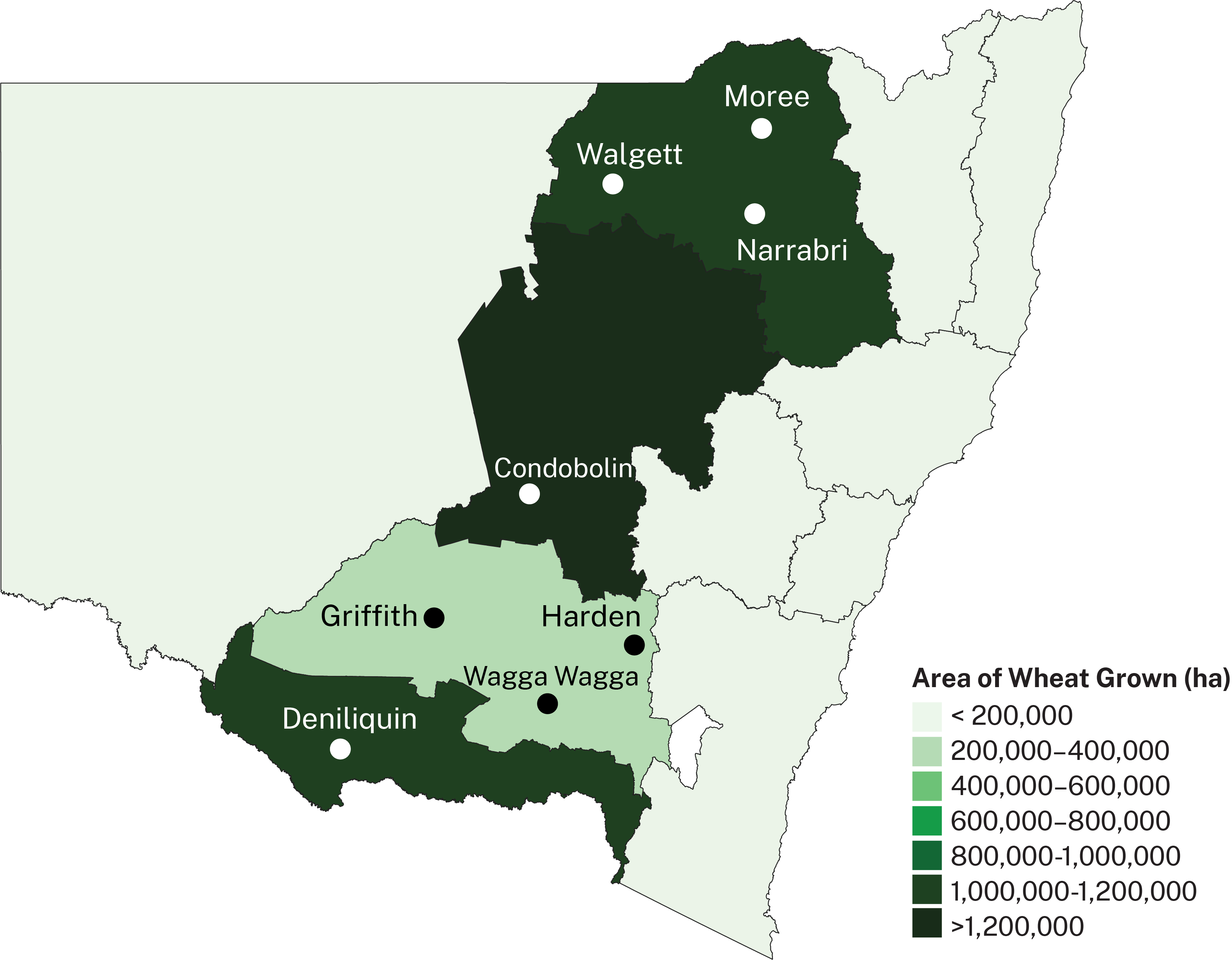
Wheat in NSW is grown as both dryland and irrigated crops. Dryland wheat depends on rainfall to meet the moisture needs of the crop. Irrigation increases production where seasonal rainfall is inadequate. Irrigating wheat crops can provide a higher yield and a higher degree of confidence in productivity but is dependent on the availability of irrigation water. The area of irrigated wheat grown in NSW is increasing, especially in southern NSW. The map shows major NSW wheat growing regions. Darker colours represent larger areas of wheat grown.
The key wheat phenophases assessed in this project include fallow rainfall, the vegetative growth and the reproductive period. A Gregory-type spring wheat with a yield of 6t/ha is modelled in this assessment.
What is the NSW DPIRD Climate Vulnerability Assessment? ⏷
Climate change is altering the growing conditions for many agricultural commodities across NSW. Primary producers need evidence-based information about the changing climate, and the risks and opportunities it may bring.
The NSW DPIRD Climate Vulnerability Assessments are enhancing the resilience of our primary industries by providing information and data to help the sector better plan for, and respond to, climate change. They have assessed climate change impacts for extensive livestock, broadacre and irrigated cropping, marine fisheries, forestry, horticulture and viticulture, and important biosecurity risks associated with these industries to inform sound planning, risk management and adaptation decisions.
How we assessed climate suitability ⏷
Climate projections were sourced from Climate Change in Australia’s ‘Application Ready Data’. This dataset is comprised of projections from an ensemble of 8 global climate models, each presenting a plausible future climate. The models differ in their projections, giving rise to uncertainty which is reflected in the confidence statements given in brackets. Care should be taken when interpreting these results.
The Climate Vulnerability Assessment is intended to highlight potential industry- or regional-level changes. Intermediate and high emissions scenarios were used in the assessments (RCP4.5 and RCP8.5), but these are not the only future scenarios possible. The inclusion of climate variables important to the commodities production was based on published research, expert knowledge and data quality and availability.
Learn more in the Climate Vulnerability Assessment Project Framework.
Climate impacts: what to expect
Dryland and irrigated wheat growing regions are expected to maintain moderate to high climate suitability for growing wheat by 2050 under both emissions scenarios.
Wheat vulnerabilities
- The length of the growing season is likely to become shorter across the state due to higher temperatures (high confidence).
- Rainfall patterns during the summer fallow period are likely to change, particularly in the north of the state. However, there is disagreement between global climate models as to what these changes will be and whether climate suitability will increase or decrease as a result.
- Germination reliability could also be impacted due to reduced cool season rainfall in the north of the growing region (moderate confidence).
- Heat damage could become an increasing issue for the reproductive growth phase in the north-west of the current wheat growing region (low confidence).
Adapting to the changing climate
Adapting to a shorter growing season
- Increasing temperatures across the state may reduce the length of the growing season and grain yield. Selecting or breeding ‘longer season’ varieties could represent an adaptation action for the projected shorter seasons.
Adapting to changes in rainfall
- Mulching and stubble retention can help overcome rainfall declines. The shorter growing season is also expected to negate the higher plant water use associated with warmer mean temperatures.
- Growing dryland summer crops may be an adaptation option for the decline in fallow rainfall in the northeast of the irrigated wheat growing region.
Adapting to heat damage
- Heat damage is likely to increase in the north of the growing region, reducing yield. Shifting planting dates and selecting varieties with phenology that avoids flowering when temperatures are damaging are adaptation options.
Where can I find the climate suitability maps?
Maps of historical and future climate suitability for commodities were produced to demonstrate where in the state a commodity is likely to thrive or else be limited by future climatic conditions. The maps are not provided on these webpages but can be found in the Climate Vulnerability Assessment Summary Report (PDF, 41425.92 KB).
Dryland and irrigated wheat Factsheet
(PDF, 2910.65 KB)
Summary Report
(PDF, 41425.92 KB)