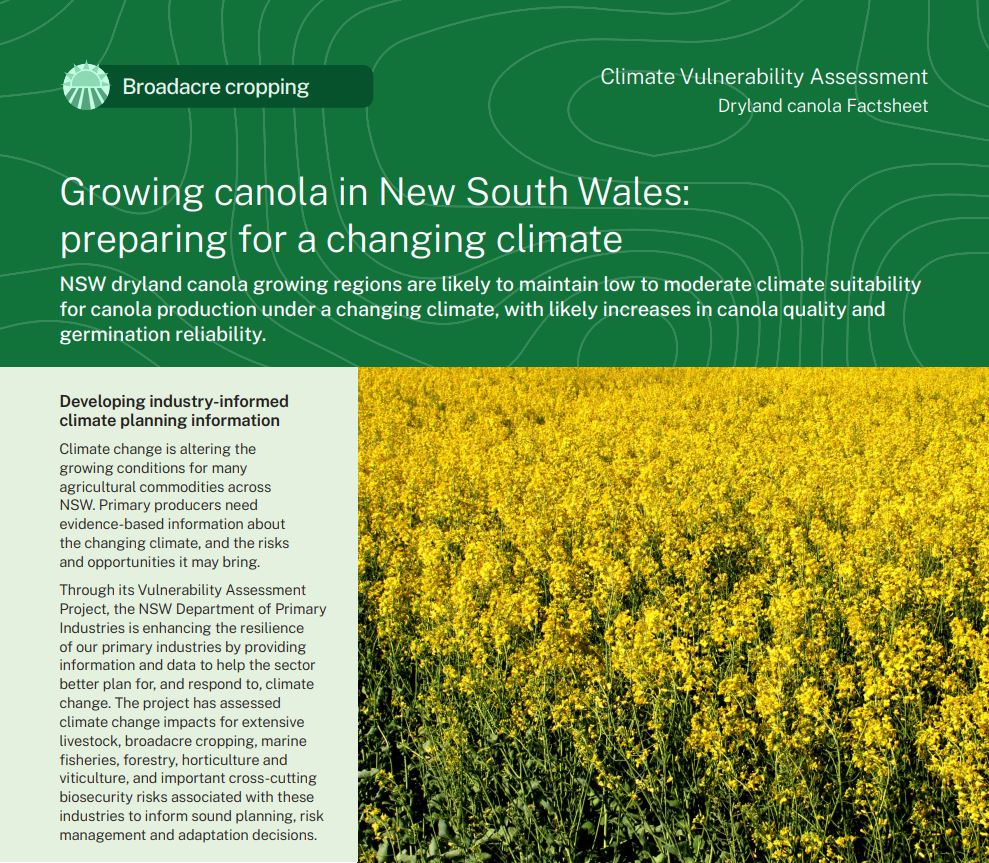
Dryland canola
Climate change offers opportunities and challenges to dryland canola growing in NSW, with some regions expected to increase in climate suitability by 2050.
 Canola in NSW
Canola was first grown as a commercial crop in Australia in 1969. Canola can produce oil for human consumption or protein meal for stock feed; it can also be grazed. Canola is also used as a ‘break’ crop to reduce cereal weed, disease and pest levels.
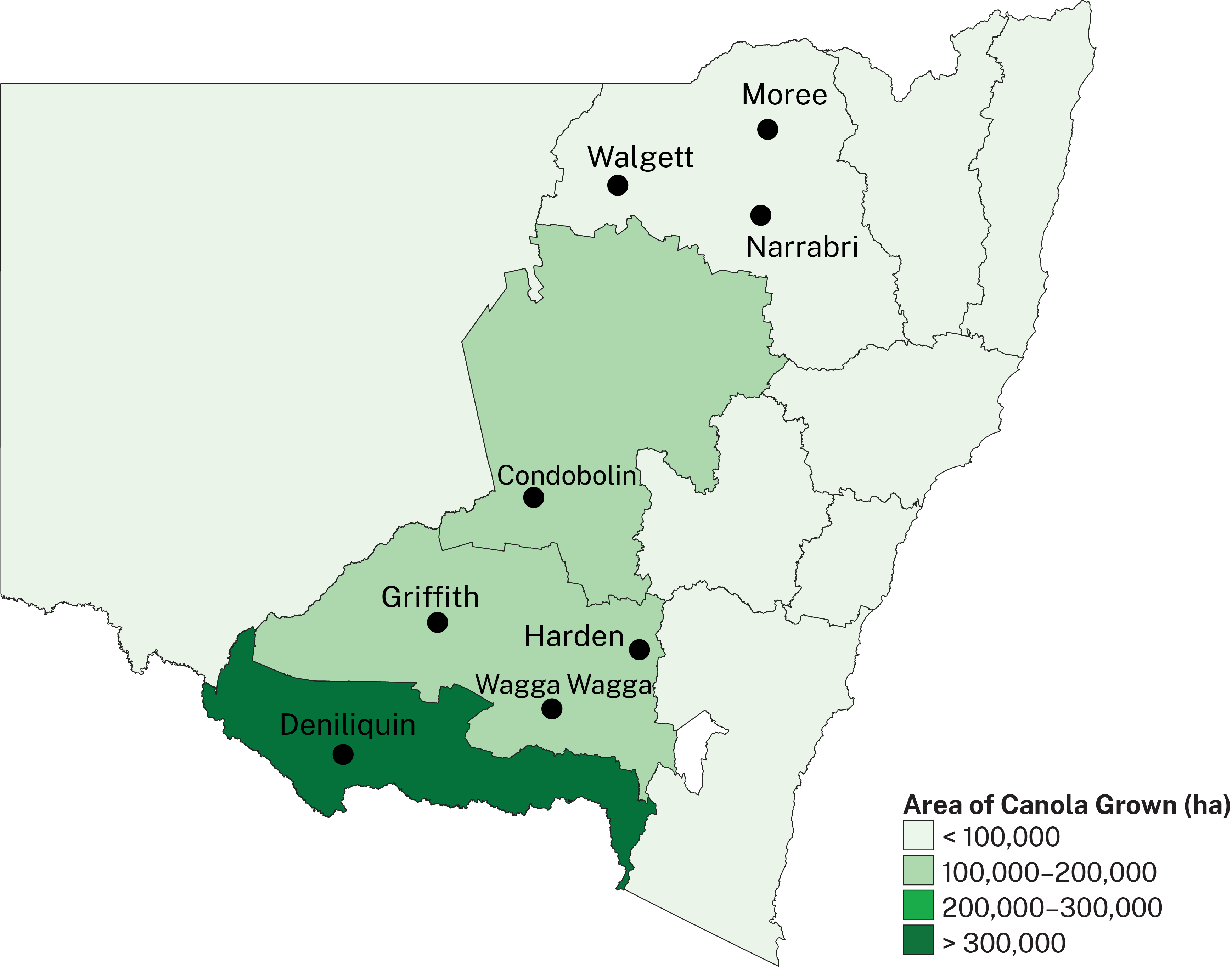
NSW grows around 800,000 hectares of canola crops annually. On average, NSW crops produce 1.35 tonnes per hectare, but under favourable conditions, can produce 4 tonnes per hectare in the south and 3 tonnes per hectare in the north of the state. The map shows major NSW canola growing regions. Darker colours represent larger areas of canola grown.
The key canola phenophases assessed in this project were fallow rainfall, vegetative growth, reproductive growth and maturity. A canola crop with a yield of 3t/ha has been modelled in this assessment.
What is the NSW DPIRD Climate Vulnerability Assessment? ⏷
Climate change is altering the growing conditions for many agricultural commodities across NSW. Primary producers need evidence-based information about the changing climate, and the risks and opportunities it may bring.
The NSW DPIRD Climate Vulnerability Assessments are enhancing the resilience of our primary industries by providing information and data to help the sector better plan for, and respond to, climate change. They have assessed climate change impacts for extensive livestock, broadacre and irrigated cropping, marine fisheries, forestry, horticulture and viticulture, and important biosecurity risks associated with these industries to inform sound planning, risk management and adaptation decisions.
How we assessed climate suitability ⏷
Climate projections were sourced from Climate Change in Australia’s ‘Application Ready Data’. This dataset is comprised of projections from an ensemble of 8 global climate models, each presenting a plausible future climate. The models differ in their projections, giving rise to uncertainty which is reflected in the confidence statements given in brackets. Care should be taken when interpreting these results.
The Climate Vulnerability Assessment is intended to highlight potential industry- or regional-level changes. Intermediate and high emissions scenarios were used in the assessments (RCP4.5 and RCP8.5), but these are not the only future scenarios possible. The inclusion of climate variables important to the commodities production was based on published research, expert knowledge and data quality and availability.
Learn more in the Climate Vulnerability Assessment Project Framework.
Climate impacts: what to expect
NSW dryland canola growing regions are likely to maintain low to moderate climate suitability for canola production by 2050 under both emissions scenarios, with possible increases in canola quality and germination reliability.
Dryland canola vulnerabilities
- Changes in rainfall are likely to impact climate suitability for canola production across the current growing region (low confidence). The direction and magnitude of these changes are uncertain, but greater changes to rainfall are expected under the higher emissions scenario.
Dryland canola opportunities
- The risk of frost damage is likely to decrease, leading to a minimal to moderate increase in climate suitability in the centre and north of the state (high confidence).
Adapting to the changing climate
Adapting to changes in rainfall
- The industry could consider growing shorter-season varieties when summer rainfall is low.
- Expansion into the centre and north of the state could be possible, given the projected reductions in frost damage.
Where can I find the climate suitability maps?
Maps of historical and future climate suitability for commodities were produced to demonstrate where in the state a commodity is likely to thrive or else be limited by future climatic conditions. The maps are not provided on these webpages but can be found in the Climate Vulnerability Assessment Summary Report (PDF, 41425.92 KB).
Dryland canola Factsheet
(PDF, 3550.71 KB)
Summary Report
(PDF, 41425.92 KB)