Rangeland grazing systems
Rangeland grazing systems will likely continue to experience very high climate suitability for livestock production by 2050.
 Rangeland grazing systems in NSW
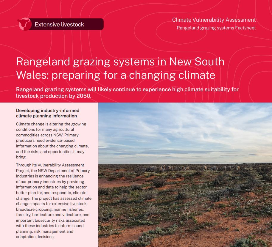
Rangeland grazing systems in the Western Division of NSW occupy around 40% of NSW but carry only 3% of cattle and 9% of sheep in NSW. Pasture in rangeland grazing systems is predominantly made up of native grasses and annual herbs. The map shows NSW grazing systems areas used in the Vulnerability Assessment Project. A key assumption of this model is that it focuses only on pastures used for grazing in rangeland grazing systems, and not other pastures which may be present. Species typically found in this zone may be able to survive in the changing climate of lower rainfall or higher temperatures. The stocking rate of grazing livestock must also be matched to the carrying capacity of the pasture. The ability of this grazing system to meet the feed intake requirements of livestock was analysed using a winter lambing system with a 0.5 DSE/ha stocking rate, considered representative of livestock enterprises employing rangeland grazing.
The ability of rangeland grazing systems to meet livestock requirements over each season was the primary focus of this assessment. The model incorporates the influence of rainfall, temperature and energy requirements of livestock, and considers both the quantity and quality of pasture.
What is the NSW DPI Climate Vulnerability Assessment? ⏷
Climate change is altering the growing conditions for many agricultural commodities across NSW. Primary producers need evidence-based information about the changing climate, and the risks and opportunities it may bring.
The NSW DPI Climate Vulnerability Assessments are enhancing the resilience of our primary industries by providing information and data to help the sector better plan for, and respond to, climate change. They have assessed climate change impacts for extensive livestock, broadacre and irrigated cropping, marine fisheries, forestry, horticulture and viticulture, and important biosecurity risks associated with these industries to inform sound planning, risk management and adaptation decisions.
How we assessed climate suitability ⏷
Climate projections were sourced from Climate Change in Australia’s ‘Application Ready Data’. This dataset is comprised of projections from an ensemble of 8 global climate models, each presenting a plausible future climate. The models differ in their projections, giving rise to uncertainty which is reflected in the confidence statements given in brackets. Care should be taken when interpreting these results.
The Climate Vulnerability Assessment is intended to highlight potential industry- or regional-level changes. Intermediate and high emissions scenarios were used in the assessments (RCP4.5 and RCP8.5), but these are not the only future scenarios possible. The inclusion of climate variables important to the commodities production was based on published research, expert knowledge and data quality and availability.
Learn more in the Climate Vulnerability Assessment Project Framework.
Climate impacts: what to expect
The climate suitability for rangeland grazing systems is likely to remain moderate to high across the rangeland grazing systems region in 2050 under both emissions scenarios.
Rangeland grazing system vulnerabilities
- Under both emissions scenarios, the climate suitability for rangeland grazing systems is likely to remain moderate to high across the Western Division of NSW (moderate confidence). However, a small contraction in the region of very high climate suitability is likely along the north-western boundary of the Western Division (moderate confidence). This slight contraction is likely to be greatest in summer, autumn and spring, and is greatest under the higher emissions scenario.
Rangeland grazing system opportunities
- The changing climate is likely to have no significant impact on rangeland grazing systems across the Western Division of NSW. Any changes in the climate suitability for rangeland pastures in eastern NSW are irrelevant due to the use of other pastures and grazing systems in those regions.
Adapting to the changing climate
Adapting to a reduction in feed
- Controlling total grazing pressure, providing supplementary feed, changing stocking rates, and increasing groundcover are adaptation strategies that can help prepare for any future reduction in feed.
Where can I find the climate suitability maps?
Maps of historical and future climate suitability for commodities were produced to demonstrate where in the state a commodity is likely to thrive or else be limited by future climatic conditions. The maps are not provided on these webpages but can be found in the Climate Vulnerability Assessment Summary Report (PDF, 41425.92 KB).
Rangeland grazing systems Factsheet
(PDF, 1333.99 KB)
Summary Report
(PDF, 41425.92 KB)