Precision Agriculture
Enhancing Precision Agriculture
The availability of rainfall and soil nitrogen during the growing season directly impact the nitrogen use efficiency (NUE) and the water use efficiency (WUE) of irrigated crops like wheat. In an increasingly variable climate it's important that growers are able to make informed management decisions.
Precision agriculture utilises a range of information technologies to identify variations in farm landscapes and manage the different areas to maximise output. Typical implementation of precision agriculture relies on classing areas of farm properties into large ‘production zones’. However, these zones are often too broad to fully capitalise on converting available information into productivity benefits.
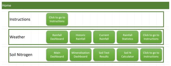
DPIRD funded the development of a proof-of-concept geospatial farm management tool that combines commercial technologies, farm records, DPIRD crop, soil and water models to develop. The beta version of this tool accurately models PAW, NUE, and projected yield through the input of rainfall and soil data.
Throughout this project a number of engagement activities occurred, including:
- Lectures to Tocal agricultural college’s certificate 2/3 and certificate 4 students.
- Longerenong Colleges precision agriculture workshop: a 3-day workshop attend by 21 agronomists from across Australia
- GRDC Farm Business updates
- One day Agtech planning workshop for an Agrifutures agtech funding program.
This tool was conducted on a wheat crop east of Young NSW.
This work was funded by the NSW Primary Industries Climate Change Research Strategy.
