

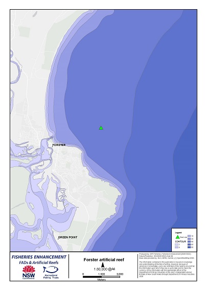
Forster Offshore Artificial Reef
Location: | Approximately 4 km east-north-east of the Coolongolook River mouth. |
|---|---|
Depth: | 34 metres |
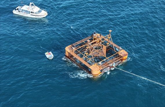
Deployment: | October 2023 |
Coordinates: | 32° 10.023' S (Latitude) 152° 33.310' E (Longitude) (WGS84 datum) |
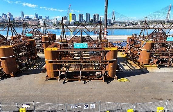
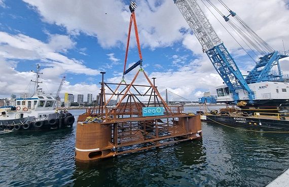
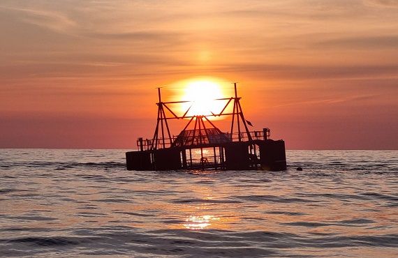
Reef type: | The Forster reef consists of two steel structures. Each has a 16m x 16m footprint and a height of 12m. |
Other: | Located approximately 3 km north of Port Stephens - Great Lakes Marine Park boundary. |
Species: | Anticipated fish species: Kingfish, Snapper, Silver Trevally, Mulloway, Yellowtail Scad and Blue Mackerel |
How to fish: | Conditions such as depth, current and wind all play a part in testing an angler’s patience and skills fishing these locations. Drifting with baits or lures along the edges of reef towers can reduce the risk being “snagged” or fouling an anchor on the reef structure. For further information please visit our user guidelines - offshore artificial reefs. |
Outputs
| Title | Details |
|---|---|
| Long Term Management Plan - Forster offshore artificial reef | PDF, 9.3 MB |
If you require further information, please call 0457 664 062 or email: fisheries.enhancement@dpi.nsw.gov.au
